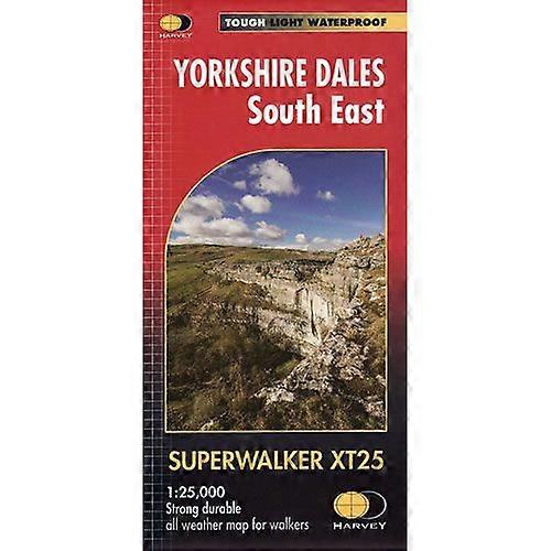
Yorkshire Dales South East Xt25 Superwalker Map
+ $16.99 Shipping
Yorkshire Dales South East Xt25 Superwalker Map
- Brand: Climb Europe

Taxes calculated at checkout
In stock
We accept the following payment methods
Description
- Brand: Climb Europe
- Category: Sports & Hobbies
- Fruugo ID: 383190779-824997420
- ISBN: 9781851375646
Delivery & Returns
Dispatched within 2 days
-
STANDARD: $16.99 - Delivery between Mon 13 October 2025–Wed 15 October 2025
Shipping from United Kingdom.
We do our best to ensure that the products that you order are delivered to you in full and according to your specifications. However, should you receive an incomplete order, or items different from the ones you ordered, or there is some other reason why you are not satisfied with the order, you may return the order, or any products included in the order, and receive a full refund for the items. View full return policy