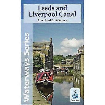
Description
This Heron Waterways map covers the eastern section of the Leeds and Liverpool Canal, from Liverpool to Keighley. It provides detailed information for both waterway users and general leisure visitors, complemented by informative panels and photographs.
The map is produced at a 1:50,000 scale, and includes detailed town plans of Blackburn, Burnley, Skipton, and Wigan at 1:12,500 scale.
This guide offers comprehensive coverage of the canal, focusing on navigation and other relevant information for boaters, while also catering to those exploring by foot, bicycle, or car. It blends historical context with practical detail, making it a valuable resource for anyone journeying along this significant inland waterway.
For centuries, the Pennines stood as a major barrier to trade across the north of England. The rise of the cotton and textile industries led to the construction of the Leeds and Liverpool Canal—a broad canal designed for wide-beamed boats capable of transporting larger loads efficiently.
Today, the Leeds and Liverpool Canal is a popular and scenic cruising route. Although long, its diverse character—ranging from peaceful countryside to vibrant urban sections—makes it ideal for repeat visits. The formerly neglected Liverpool terminus has been transformed with the opening of the Liverpool Canal Link, reconnecting the waterway to the heart of this historic port city. Meanwhile, the Leeds waterfront continues to evolve with exciting redevelopment.
Features of the map include:
Navigation and historical notes
Visitor moorings, marinas, and boatyards
Boat hire centres and facilities for boat users
Shops and distance markers
Tourist information centres and places of interest
Pubs, nature reserves, parks, and churches
Long-distance walking routes and public toilets
Caravan and camping sites
Published by Heron Maps in 2014
-
Fruugo ID:
383190917-824997560
-
ISBN:
09781908851062
Delivery & Returns
Dispatched within 2 days
Shipping from United Kingdom.
We do our best to ensure that the products that you order are delivered to you in full and according to your specifications. However, should you receive an incomplete order, or items different from the ones you ordered, or there is some other reason why you are not satisfied with the order, you may return the order, or any products included in the order, and receive a full refund for the items. View full return policy