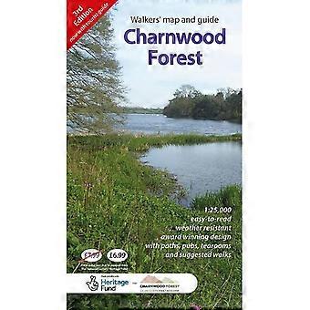
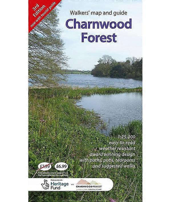
Charnwood Forest Regional Park Map
+ $16.49 Shipping
Charnwood Forest Regional Park Map
- Brand: Climb Europe
Taxes calculated at checkout
Currently unavailable
We don't know when or if this item will be back in stock.
We accept the following payment methods
Description
- Brand: Climb Europe
- Category: Sports & Hobbies
- Fruugo ID: 383192039-824998736
- ISBN: 9781739501402
Delivery & Returns
Dispatched within 2 days
-
STANDARD: $16.49 - Delivery between Tue 21 October 2025–Thu 23 October 2025
Shipping from United Kingdom.
We do our best to ensure that the products that you order are delivered to you in full and according to your specifications. However, should you receive an incomplete order, or items different from the ones you ordered, or there is some other reason why you are not satisfied with the order, you may return the order, or any products included in the order, and receive a full refund for the items. View full return policy